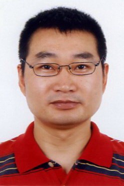
| Name | CAO Yu |
| Title | Associate Professor |
| Office Address | MMW132 |
| Phone | +86-571-56662129 |
| caoyu@zju.edu.cn |

Short Bio
Dr. Yu Cao is an Associate Professor in Department of Land Management, School of Public Affairs, Zhejiang University. He obtained Ph.D. in Institute of Applied Ecology, Chinese Academy of Sciences in 2003. And he has carried out his postdoctoral research work in Institute of Geographic Sciences and Natural Resources Research, Chinese Academy of Sciences from 2003 to 2006. He was a visiting scholar in Department of Geography and Geographic Information Science, University of Illinois at Urbana - Champaign, USA (working with Professor Murugesu Sivapalan) from 2009 to 2010. He has received research funding from the NSFC (National Natural Science Foundation of China), Ministry of Education of China, Ministry of Land and Resources of China, NSF-ZJ (Natural Science Foundation of Zhejiang Province, China), and local government; and served as Principal Investigator (PI) and co-PI for more than three million YUAN RMB research grants. He has published many peer-reviewed papers including articles in more than 10 journals. He has also served as a reviewer of many journals, such as Remote Sensing, Urban Ecosystems, Journal of Applied Meteorology and Climatology, and Journal of Mountain Sciences, Acta Ecologica Sinica(in Chinese), Journal of Applied Ecology(in Chinese), Chinese Journal of Plant Ecology(in Chinese), China Land Science(in Chinese), Journal of Basic Science and Engineering(in Chinese) and Chinese Journal of Ecology(in Chinese), etc. Now Dr. Cao serves as a vice director of Department of Land Management, Zhejiang University. He has gained Qiushi Outstanding Young Scholar Award, Zhejiang University in 2013. And he served as a current Council member of the IALE (International Association for Landscape Ecology)-China branch. His research and teaching interests primarily include land use and land cover change, landscape ecology, integrated ecosystem assessment, land use planning, land consolidation, land resources management, geographical spatial analysis and modeling, and remote sensing and geographic information science and systems (GIS) application, etc.


